Top Scenic Drives Near Monroe, LA
These drives showcase river views, wildlife refuges, and ancient earthworks within an easy drive of Monroe. Each route offers short stops for photography, picnic spots, and clear directions for where to turn or pull over.
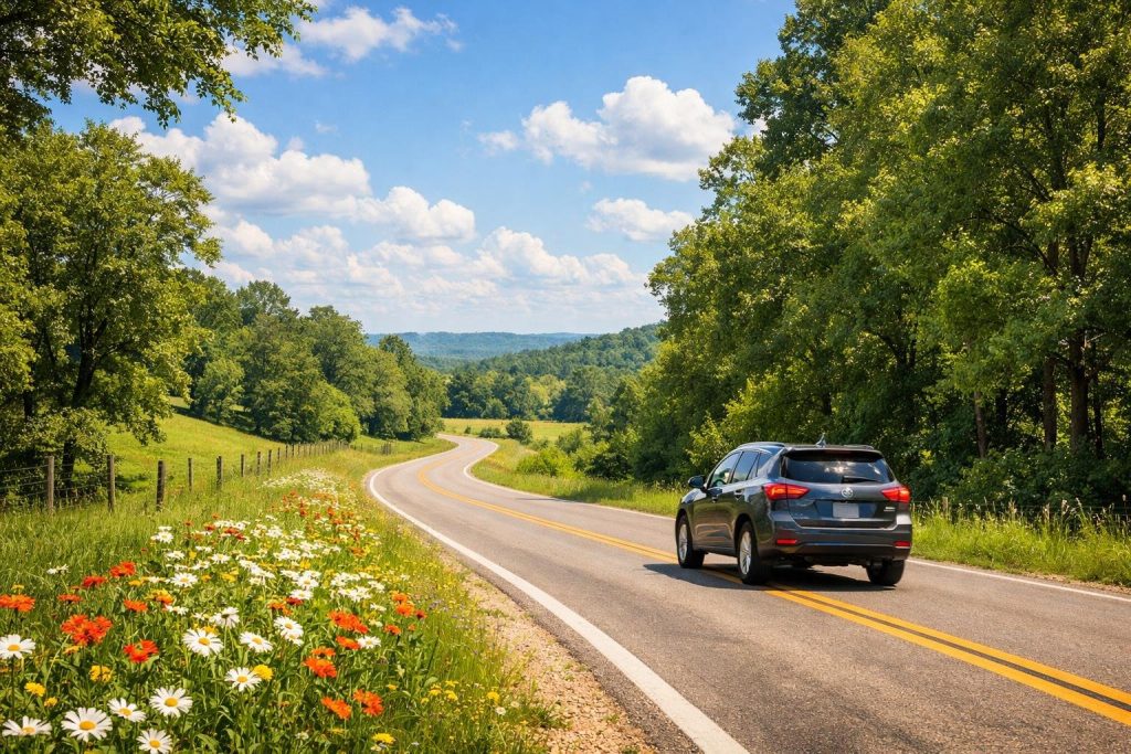
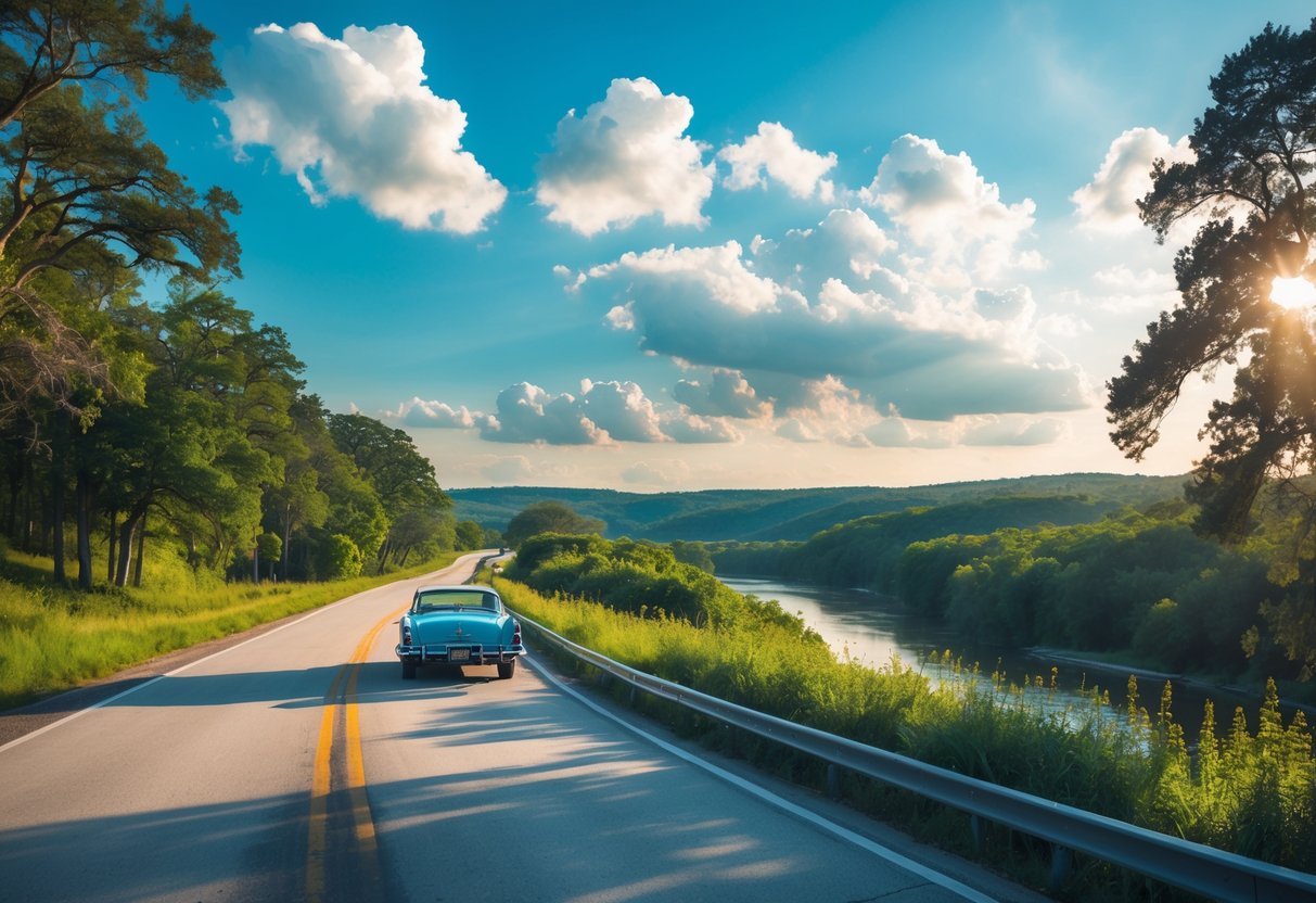
Ouachita River Route
The Ouachita River Route follows state and local roads along the Ouachita River and Bayou DeSiard. Drivers will see riverfront parks, boat launches, and historic downtown Monroe with pull-offs for photos of the water and bridges. Early morning and late afternoon give the best light for river reflections and bird activity.
Key stops:
- Black Bayou Park for a short walk and river views.
- Downtown Monroe for riverfront dining and the Ouachita Riverwalk.
- Bayou DeSiard access points for fishing or paddling.
Road conditions are mostly two-lane paved roads; expect local traffic and occasional farm vehicles. The route suits cars, motorcycles, and cyclists who prefer short, scenic legs with frequent stopping options.
Black Bayou Lake National Wildlife Refuge Loop
This loop circles Black Bayou Lake and the adjacent refuge roads. It offers marsh and bald cypress scenery, spotting areas for herons, egrets, and migratory waterfowl, plus a short boardwalk and observation platform near the visitor area. Visitors should carry binoculars and insect repellent in warmer months.
Highlights:
- Observation tower and boardwalk for close wildlife viewing.
- Short interpretive trails that explain local wetlands and plants.
- Easy parking and picnic tables near the visitor area.
The loop uses low-speed roads and short trailheads, so it works well for families and photographers who want quiet, wildlife-focused stops without long hikes.
Poverty Point Parkway
Poverty Point Parkway runs to the Poverty Point National Monument area, offering access to the UNESCO-recognized earthen ridges and mounds. Travelers can park at the visitor center, walk the raised platforms over the earthworks, and visit the museum with archaeological displays and reconstructed artifacts.
Important details:
- Visitor center and museum with exhibits on mound-building culture.
- Boardwalk and viewing platforms over the mounds for close inspection.
- Seasonal events and guided talks may be scheduled; check ahead.
Roads near the monument are well-marked and maintained. The site combines cultural history with open views and short, accessible pathways, making it a good stop for history-minded visitors.
D’Arbonne National Wildlife Refuge Scenic Byway
The byway threads through pine flatwoods, bottomland hardwoods, and bayous of the D’Arbonne National Wildlife Refuge. It features frequent pull-offs for kayaking and fishing access, plus shady picnic sites beside refuge lakes. Birders can expect warblers, woodpeckers, and wading birds depending on the season.
Practical notes:
- Multiple boat ramps and lakeside access points.
- Short dirt or gravel spurs to observation blinds; high-clearance not usually required but drive with care after rain.
- Well-marked signs for refuge rules and where to park.
This drive suits drivers who want a quieter, nature-focused route with several short hikes and water access points along the way. For currents and water levels, check refuge notices before visiting.
Planning the Ideal Scenic Drive
Pick a start time, key stops, and a route that matches the season and daylight. They should plan fuel, food, and phone charging spots before leaving Monroe to avoid unexpected delays.
Recommended Times for Peak Scenery
They should aim for mid-morning or late afternoon light on rural roads. Driving between 9–11 a.m. avoids early fog but keeps cooler temps in spring and fall. Late afternoon (3–6 p.m.) gives warm light for photos and highlights color contrasts along bayous and plantation oak canopies.
Weekdays reduce traffic near popular stops like historic homes and wildlife refuges. Weekend mornings work for short drives but expect more cars by noon. For birding at Black Bayou Lake, early morning brings the most activity.
Temperature matters. Summer heat can make long drives uncomfortable; plan shaded stops and extra water. Winter days are short — schedule shorter routes and check daylight times.
Must-See Stops and Landmarks
They should include a mix of nature and history. Key stops near Monroe include Black Bayou Lake National Wildlife Refuge for boardwalks and water birds, and nearby plantation sites for historic architecture and photo ops.
Add small towns with local food to taste regional cuisine. They should note fuel and restroom availability in towns like Bastrop or Sterlington. For wildlife viewing, drive slowly along back roads and park at pullouts to avoid disturbing animals.
They should check hours for museums and guided tours. Some historic properties close earlier in winter or have limited weekday hours. Saving a list of exact addresses and phone numbers saves time.
Best Routes for Fall Foliage
They should take tree-lined back roads rather than highways for the best color. Routes that follow bayous and rivers—where live oaks, sugar maples, and bald cypress cluster—showcase varied tones from gold to deep red.
Suggested path: head east of Monroe toward Bastrop and then loop south along state highways that run near river corridors. This route offers mixed hardwood stands and accessible pullouts for photos.
They should watch weather forecasts; wind and rain can strip leaves quickly. Plan a two- to three-day window and choose flexible drives each day to chase the peak colors.
Storage Unit Rentals in Monroe, LA
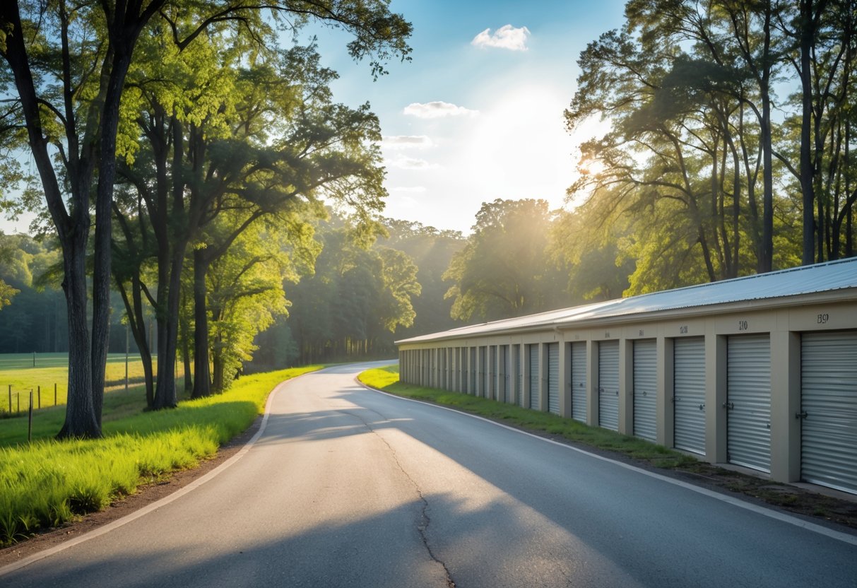
Travelers and locals can find several storage options near Monroe’s main roads and attractions. Facilities often offer climate-controlled and drive-up units, flexible month-to-month leases, and online reservations to make short trips or long stays easier.
Many listings emphasize security features like 24/7 cameras, gated access, and onsite management. These features help protect vehicles, camping gear, and household items kept during seasonal moves or road trips.
Prices and unit sizes vary by location and demand, so shoppers should compare rates, first-month deals, and amenities before booking. Websites make it easy to compare options and reserve a unit quickly.
Iron Storage maintains a location in Monroe, LA, offering standard and vehicle storage options. It provides online booking and typical security measures for peace of mind.
Nearby companies include national chains and local providers that advertise free online reservations and occasional first-month promotions. Drivers who plan scenic routes can park extra gear in a nearby unit and travel light.